


InfraWorks Essential Training ، فیلم آموزشی آشنایی و کار با نرم افزار اینفراورکس 360 می باشد که برای علاقمندان به این نرم افزار ، توسط شرکت Lynda ، تهیه و منتشر گردیده است . در فیلم آموزشی InfraWorks Essential Training شما با قابلیت ها و ویژگی های InfraWorks آشنا خواهید شد تا بتوانید راحتتر از آن در کار های خود استفاده نمایید . Eric Chappell ، مدرس فیلم آموزشی InfraWorks Essential Training ، با بیان مقدمه ای بر روند آموزش در این دوره کار خود را آغاز می کند و در ادامهع شما را با مفاهیمی از قبیل بررسی رابط کاربری در InfraWorks ، چگونگی ایجاد مدل های جدید ، چگونگی واردات تصاویر – داده های زمین و بیشتر ، چگونگی ایجاد و ویرایش جاده ها – پوشش ها – ساختمان ها و خطوط ، آشنایی با تنظیمات نمایش ، چگونگی به اشتراک گذاری مدل و بسیاری موارد دیگر آشنا خواهد ساخت تا بتوانید هر چه بیشتر با این نرم افزار محبوب کار کنید . پروژه ی تمرینی موجود در این دوره به شما این امکان را میدهد تا همزمان با دیدن فیلم آموزشی InfraWorks Essential Training ، تمامی مباحث را بصورت عملی نیز انجام دهید .
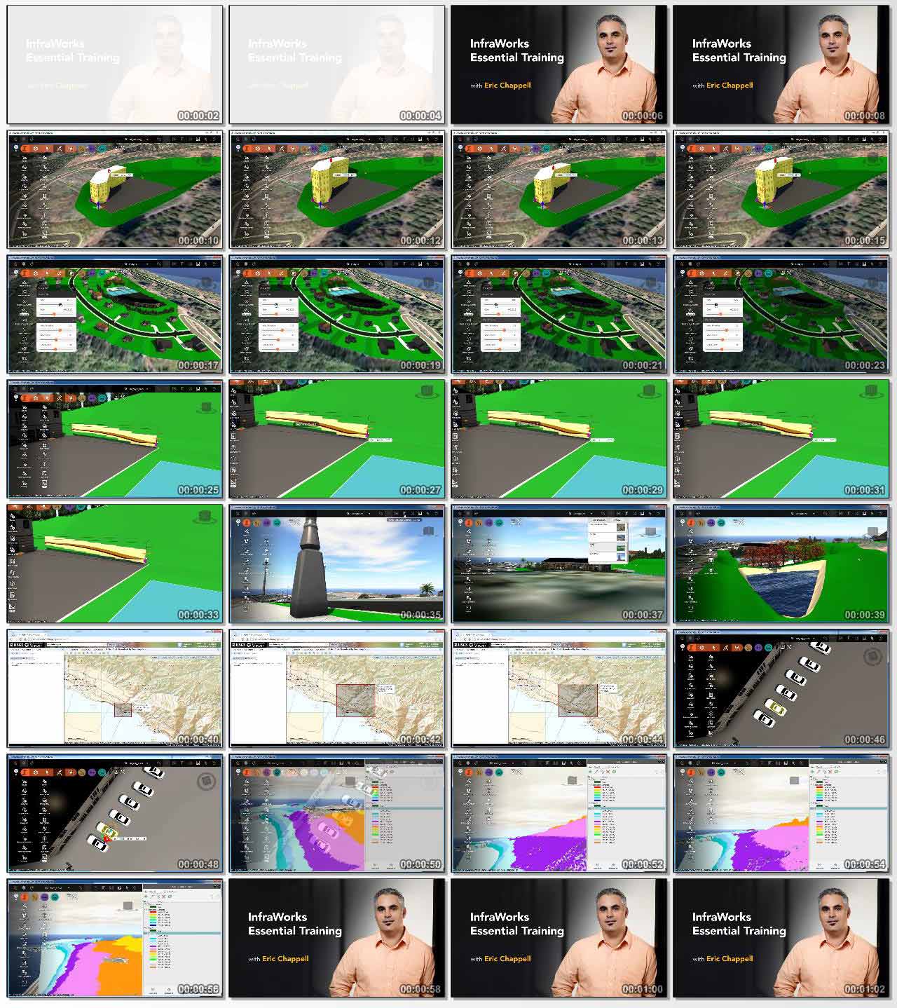
مباحث دوره ی آموزشی InfraWorks Essential Training :
– Exploring the InfraWorks interface
– Creating new models
– Importing imagery, terrain data, and more
– Creating and editing roads, coverages, buildings, and pipelines
– Adding trees, water features, barriers, and city furniture
– Styling your world with material and road styles
– Adjusting view settings
– Creating a snapshot, storyboard, or animation
– Rendering your model
– Analyzing your design
– Sharing the model
موارد مورد بحث در این دوره :
00. Introduction
– Welcome
– Using the exercise files
01. Exploring the World of InfraWorks
– InfraWorks Home: Working with tiles
– InfraWorks Home: Groups and settings
– Using the Utility Bar
– Using the intelligent tools
– Understanding the InfraWorks model: Existing features
– Understanding the InfraWorks model: Proposed features
– Navigating with the mouse
– Navigating with the ViewCube
– Looking underground
– Navigating by selection
– Creating and using bookmarks
– Properties and data tables
02. Creating an Existing World
– Using Model Builder
– Create a new model from scratch
– Retrieve data from the National Map Viewer
– Import imagery
– Set the Model Extent
– Configuring coordinate systems and units
– Import terrain data
– Import vector data
– Import point cloud data
– Exploring Model Properties
– Exploring the Application Options
– Updating the model thumbnail
03. Redesigning Your World
– Creating roads
– Working with Edit mode
– Editing roads with gizmos
– Editing roads with right-click menus
– Creating coverages
– Editing coverages with gizmos
– Editing coverages with right-click menus
– Editing coverage properties
– Creating buildings
– Editing buildings
– Editing building properties
– Creating pipelines and pipeline connectors
– Editing pipelines and pipe connectors with gizmos
– Editing pipeline and pipeline connector properties
– Understanding proposals
04. Add Detail to Your World
– Creating trees
– Editing individual trees
– Editing groups of trees
– Creating water features
– Editing water features with gizmos
– Editing water features with right-click menus
– Editing water feature properties
– Creating barriers
– Editing style-based barriers
– Editing 3D-model-based barriers
– Creating city furniture
– Editing city furniture with gizmos
– Working with points of interest
05. Change the Look of Your World
– Understanding the Style Palette
– Creating a color-based material style
– Creating a texture-based material style
– Creating and apply coverage styles
– Creating a material group
– Creating a road style
– Configuring road style Track Settings
– Working with Style Rules
– Working with Surface Display (Opacity and Wireframe)
06. Present Your World
– Working with Model Generation settings
– Working with 3D Graphics settings
– Working with Visual Effect settings
– Working with Sun & Sky settings
– Creating a snapshot
– Rendering your model
– Creating a storyboard
– Creating a camera path animation
– Editing a camera path animation
– Adding titles and captions to your storyboard
– Adding a watermark
07. Analyze Your World
– Measuring your model
– Analyzing visibility
– Using Range Finder
– Using Terrain Statistics
– Using Terrain Themes
– Using Feature Themes
– Working with Point Cloud Themes
– Using Sun & Sky for Analysis
– Using a storyboard for analysis
08. Share Your World
– Creating and managing groups
– Publishing a model
– Synchronizing a model
– Creating a scenario
– View your model online
– Disconnecting a model
– Duplicating a model
09. Conclusion
– Next steps
مشخصات دیگر فیلم آموزشی InfraWorks Essential Training :
– ژانر : آموزشی
– شرکت سازنده : Lynda
– مدرس : Eric Chappell
– مدت زمان آموزش : 7 ساعت و 11 دقیقه
– پروژه ی تمرینی : دارد
– نرم افزار مورد نیاز : InfraWorks 360
– تاریخ انتشار : 09-06-2015
– زبان : انگلیسی
– کیفیت نمایش : 720 * 1280
– فرمت فایل : mp4
– زیرنویس : ندارد
برای درخواست فیلم های آموزشی به فروم سایت مراجعه کنید .

لینک دانلود

درود
لینک دانلود خراب شده
سلام
لینک مشکلی ندارد .